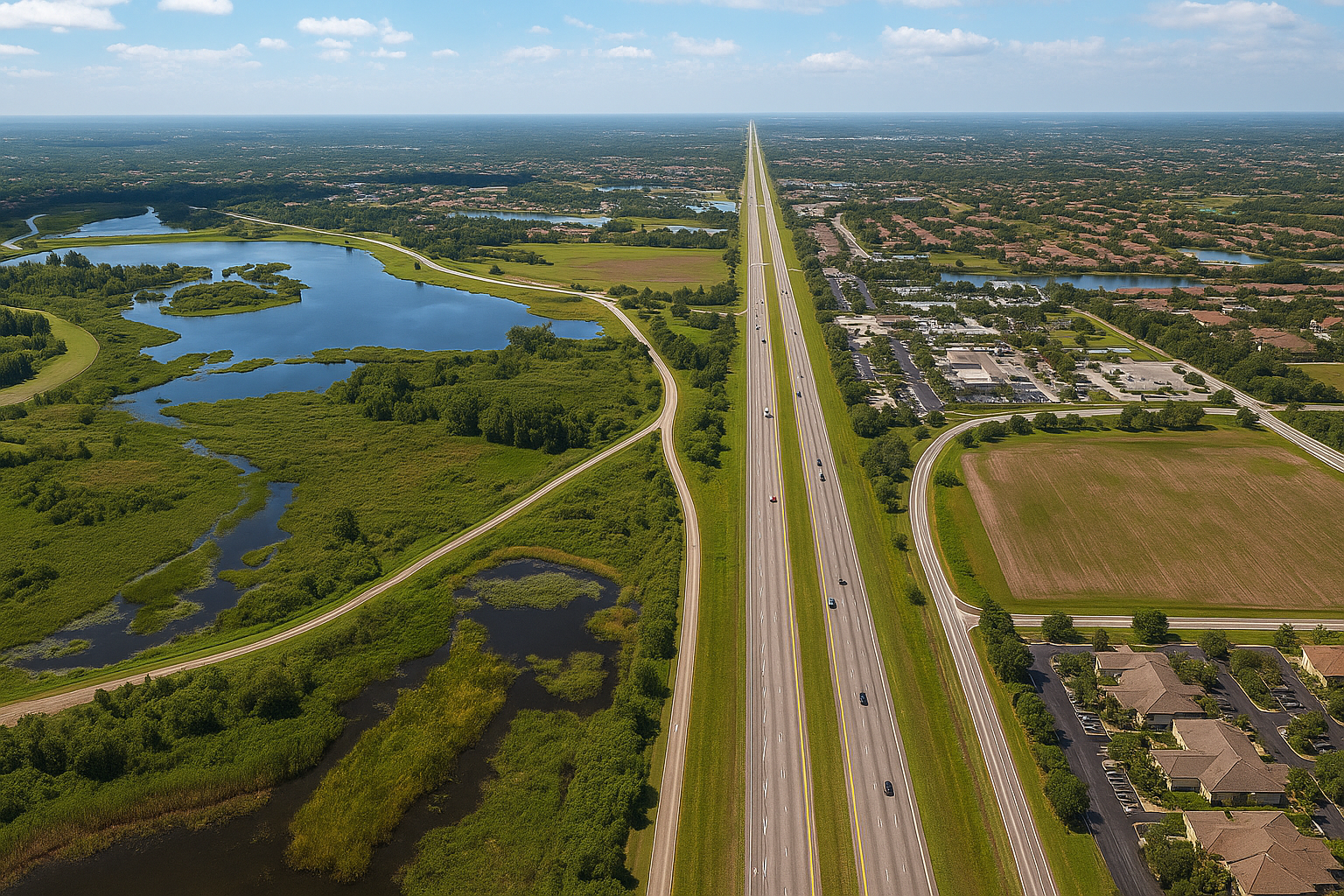
Florida is surrounded by water, crisscrossed with rivers and lakes, and routinely impacted by tropical storms and hurricanes. Because of this, the Federal Emergency Management Agency (FEMA) designates much of the state as being at some level of flood risk. Whether you’re buying property, building a home, or renewing your insurance, it’s crucial to understand your FEMA flood zone classification—and what it means for your safety, insurance costs, and future planning.
What Are FEMA Flood Zones?
FEMA flood zones are maps that show areas at varying levels of flood risk. These zones help local governments set building standards and are used by insurance companies to determine flood insurance requirements and rates.
Flood zones fall into two main categories:
1. Special Flood Hazard Areas (SFHAs) – High-Risk Zones
These areas have a 1% or greater chance of flooding each year, also called the “100-year floodplain.” If your property falls in one of these zones, flood insurance is typically required by lenders.
Examples include:
- Zone A: High risk, but no detailed flood elevations determined
- Zone AE: High risk, with Base Flood Elevations (BFEs) provided
- Zone AH, AO: Areas with shallow flooding, such as ponding or sheet flow
- Zone VE: High risk with additional coastal storm surge hazards (usually near beaches)
2. Moderate- to Low-Risk Zones
Flooding is less likely here, but it still can happen. In fact, over 20% of flood claims come from these areas.
Examples include:
- Zone X (shaded): Moderate risk (500-year floodplain)
- Zone X (unshaded): Minimal risk
- Zone D: Risk is undetermined or unstudied
How to Find Your FEMA Flood Zone
You can easily find your flood zone using online tools:
- FEMA Flood Map Service Center
Visit https://msc.fema.gov and enter your address. This interactive map will show:
- Your flood zone classification
- Base Flood Elevations (where applicable)
- Nearby floodways and levees
- County or City GIS Maps
Many Florida counties (like Miami-Dade, Hillsborough, or Sarasota) have detailed GIS maps that overlay FEMA flood zones with parcel data and property lines. - Ask a Surveyor or Insurance Agent
A flood elevation certificate from a licensed surveyor can give precise elevation details. Insurance agents also rely on flood zone information to quote policies.
Why Your Flood Zone Matters
1. Insurance Requirements
If your property is in a high-risk flood zone and you have a federally backed mortgage, flood insurance is mandatory. In lower-risk zones, it’s optional—but still recommended.
2. Cost of Flood Insurance
The riskier the zone, the higher the premium. Newer policies now use FEMA’s Risk Rating 2.0, which also considers elevation, distance to water, and construction type—not just the flood zone.
3. Building and Renovation Rules
High-risk zones come with strict building requirements:
- Minimum elevation heights (Base Flood Elevation)
- Elevated foundations or pilings
- Special permits for renovations or additions
Failing to meet these standards can prevent you from getting permits or insurance.
4. Real Estate and Property Value
Buyers are increasingly aware of flood risk. Knowing your flood zone helps you understand the true cost of ownership and any future limitations on development or resale.
Final Thoughts
Living in Florida means enjoying the sunshine, beaches, and waterways—but it also means being flood-aware. Understanding your FEMA flood zone is a smart, necessary step in protecting your property, finances, and peace of mind.
Before you buy, build, or renovate, check your flood zone, talk to your insurance agent, and make sure you’re prepared. In Florida, it’s not a matter of if the water comes—but when. Knowing your zone helps you stay one step ahead.